

In El Chaltén we just call it the Hielo, the ice. It is a sheet of ice lying over the Andes between Argentina and Chile, from the latitude of Lago O’Higgins to beyond Torres del Paine. Fitz Roy and Cerro Torre are its eastern edge. The small glaciers you see from the trails around town belong to the massifs; the big ones, like Viedma and Upsala, flow straight off the ice field.
What the Southern Patagonian Ice Field is
It is the largest body of ice in the Southern Hemisphere outside Antarctica: some 350 km from north to south and from a few kilometres to several tens of kilometres wide. Its area depends on who measures and when, between about 13,000 and 16,800 km². In the most quoted count, 14,200 km² lie in Chile and 2,600 in Argentina. It feeds 48 major glaciers and more than a hundred small ones, according to Aniya’s 1996 inventory.
In the deepest valleys the ice is more than 1,400 metres thick, and in places, one of them near Fitz Roy, the bed lies below sea level (Millan et al., 2019). The line "the world’s third largest reserve of fresh water" is repeated everywhere, but it does not come from any glaciology paper.

How it formed
It is what is left of the ice sheet that covered the southern Andes in the last ice age. As it withdrew it left the moraines, lakes and U-shaped valleys we walk through today: Laguna Torre, Laguna Capri and the Río Túnel valley were all shaped by ice. It survives at the latitude of Paris in the other hemisphere because of the westerlies: they arrive off the Pacific full of moisture, hit the Andes and drop between 2 and 11 metres of water a year, most of it as snow.
On the Argentine side the air comes down dry. That is why there is steppe a few kilometres from the lenga forest, and why the wind is the first thing you learn about here. Read more →
The great glaciers on the Argentine side
| Glacier | Ends in | Area |
|---|---|---|
| Viedma | Lago Viedma, south of El Chaltén | 945 to 978 km² |
| Upsala | The Upsala arm of Lago Argentino | 765 to 902 km² |
| Perito Moreno | Lago Argentino, facing the Magallanes peninsula | 250 to 258 km² |
| Pío XI (Chile) | Eyre Fjord, on the Pacific | 1,265 km², the largest of the ice field |
Areas from the inventory by Aniya et al. (1996) and later sources. They fall with each survey: these glaciers are losing ice.
The glaciers near El Chaltén, one by one, and how to reach each of them. See →
The first ones in
- 1877 · Francisco P. Moreno
- He travels up the Santa Cruz river and on 15 February reaches the lake he names Argentino. On the same journey he names Fitz Roy the mountain the Tehuelche called Chaltén.
- 1914 · Federico Reichert
- He climbs the Moreno glacier from the Canal de los Témpanos and on 27 February reaches the water divide at about 1,350 metres. That pass now bears his name.
- 1916 · Lutz Witte and Alfredo Kölliker
- They go onto the ice up the Túnel valley, the same one we walk to Laguna Toro today, on skis and hauling their own sledge.
- 1931 · Alberto De Agostini
- The priest and photographer crosses from east to west, from Lago Argentino to a Chilean fjord. The camp at Laguna Torre is named after him.
- 1960–61 · Eric Shipton
- He travels the ice field from north to south, from the Jorge Montt Glacier to Upsala, over December and January. He tells the story in Land of Tempest.
- 1998–99 · End to end
- Four Chileans, Besser, Rojas, Montt and Fica, make the first complete traverse: 98 days on the ice.
When we head out towards Laguna Toro we follow Witte and Kölliker’s valley. They went in when there was no village, no path and no bridges. Read more →
A border never drawn
The 1881 treaty puts the border along the peaks that divide the waters, which is hard to apply under hundreds of metres of ice. The 1998 agreement drew the section from Cerro Murallón to Daudet, but left Fitz Roy to Murallón until a joint 1:50,000 map is made, and it has not been. Paso del Viento lies inside that undrawn section. Up there are no border posts or signs: just ice to the west.
How fast it is shrinking
Faster each decade. Between 1968 and 2000 it lost on average 13.5 km³ of ice a year; between 2000 and 2012, about 20 gigatonnes a year (Willis et al.). The glaciers ending in deep lakes retreat the most.
- Viedma
- Its front retreated about 900 m between 1968 and 1997, 1,300 m between 1997 and 2014 and nearly 1 km in the next three years. Below it, Lago Viedma came into view: 900 metres deep, the deepest lake in the Americas according to CONICET (2022).
- Upsala
- Between 2008 and 2011 its front retreated 2.9 km. It has now almost come apart from its tributary, the Bertacchi.
- Perito Moreno
- For a century it was the exception. Not any more: since 2019 its front has been thinning 5.5 metres a year, against 0.34 in the two decades before (Koch et al., 2025).
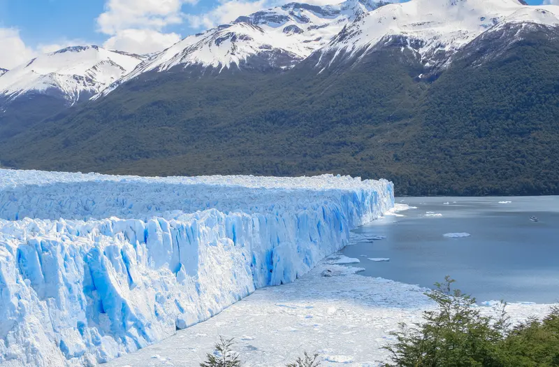
You can see it without a satellite. Along the big glaciers run bands of pale rock with no lichen, marking where the ice stood a few decades ago. From the Viedma boat they are easy to pick out.
How to see it from El Chaltén
From Laguna de los Tres and Laguna Torre it is out of sight, behind the massifs. You have to head south or out to Lago Viedma.
- Laguna Toro and the Túnel Glacier
- Two days with a night in a tent, walking out of town. It is the gateway to the ice: Paso del Viento is above, across the river. From US$650.
- Paso del Viento, on the Huemul Circuit
- Four days. On the second, after the Río Túnel, you climb to the pass and the ice field is straight ahead with nothing in between. On the third you walk with the Viedma below. From US$1,282, with guide, meals and tent.
- The Viedma by boat
- It leaves from Puerto Bahía Túnel, 18 km from town, and crosses among icebergs to the glacier front. It is on our five-day package.
- Guanaco to Estancia Cristina
- Five days. From Paso Sombrero the ice field appears with Murallón above it; on the last day, the Upsala from the Feruglio range.
- Helsingfors to Estancia Cristina
- Four days between Lago Viedma and Lago Argentino, much of it off-trail, arriving at the estancia on foot.
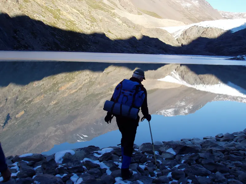
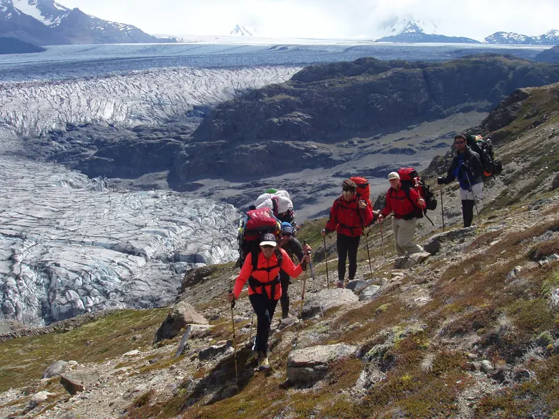
If you would rather sleep in a hotel, the packages add the ice without the tent: the Viedma on the five-day trip (from US$1,490), Upsala with a night at Estancia Cristina on the seven-day one (from US$3,690) and Perito Moreno on the eight-day one (from US$2,890). Per person, sharing.
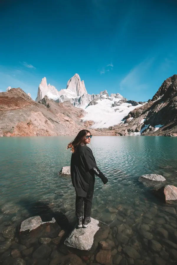 Fitz Roy, Cerro Torre and Viedma Glacier5 days · from USD 1,490 (≈ €1,330)
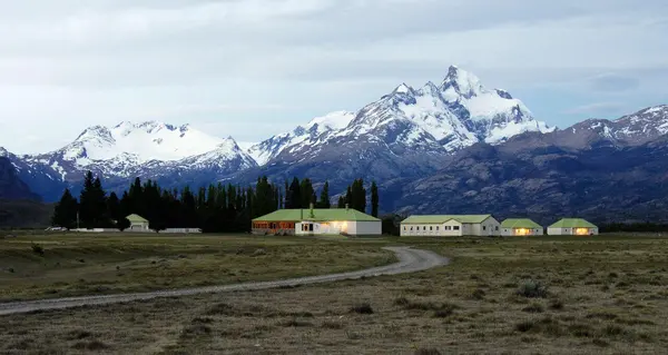 From Fitz Roy to the Upsala Glacier7 days · from USD 3,690 (≈ €3,290)
 Perito Moreno and Fitz Roy8 days · from USD 2,890 (≈ €2,580)
Paso del Viento and Paso Huemul, day by day. See →
Before you go
- Stepping onto the ice is another matter
- Going onto the ice field and crossing it is an expedition: crevasses, skis, sledges and days of storm. Our outings look at it from the edge, from passes and moraines.
- The wind
- At Paso del Viento, the Pass of the Wind, the name is no exaggeration. We go in wind and rain all the same: the guide picks the hour to cross.
- When
- The Huemul Circuit runs from November to March; Laguna Toro from October to April. December and January have the most daylight; March, fewer people and the lenga turning red.
Los Glaciares National Park: entrance fees and what to know. Read more →
Questions
What is the Southern Patagonian Ice Field?
A sheet of ice about 350 km long lying over the Andes between Argentina and Chile. It is the largest in the Southern Hemisphere outside Antarctica and feeds 48 major glaciers, among them Viedma, Upsala and Perito Moreno.
How big is the Southern Patagonian Ice Field?
Depending on the source and the year, between about 13,000 and 16,800 km². In the most quoted count, 14,200 km² lie in Chile and 2,600 in Argentina.
How thick is the ice?
In the deepest valleys it is more than 1,400 metres thick, according to a 2019 study using radar and airborne gravity data. In places, including near Fitz Roy, the bed lies below sea level.
Is it the third largest freshwater reserve in the world?
The line is repeated everywhere but it is not a glaciological figure. What has been measured is that it is the largest body of ice in the Southern Hemisphere after Antarctica.
Can you see the ice field from El Chaltén?
Not from town, nor from Laguna de los Tres or Laguna Torre: it lies behind the massifs. You see it from Paso del Viento on the Huemul Circuit, from Paso Sombrero on the Guanaco to Estancia Cristina crossing and, by boat, at the front of the Viedma Glacier.
Do I need experience to reach Paso del Viento?
You need to be fit and happy to sleep in a tent for a few nights. With a guide you need no technical experience: we carry the camping gear and the food and handle the Río Túnel crossing. The Huemul Circuit is from US$1,282.
Can you walk on the Southern Patagonian Ice Field?
Only on expeditions of several days, with glacier equipment and crevasse experience. Our treks look at it from the edge. Guided ice walking on the Viedma Glacier was suspended in 2017 because of the glacier’s retreat.
How fast is the ice field retreating?
Between 2000 and 2012 it lost about 20 gigatonnes of ice a year. The Viedma front has retreated about 2 km since 2014 and Upsala’s 2.9 km between 2008 and 2011.
Why is part of the border on the ice field undefined?
The 1998 agreement between Argentina and Chile drew the border from Cerro Murallón to Daudet but left the Fitz Roy to Murallón section until a joint 1:50,000 map is made, which has not happened.
When is the best time to go?
The Huemul Circuit runs from November to March and Laguna Toro from October to April. We go in wind and rain; what changes is the view, so a spare day in your plans is worth having.