
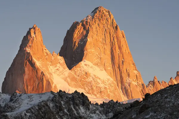
Mount Fitz Roy, or Chaltén, is 3,405 m high and the tallest peak of the massif above El Chaltén. It stands in Los Glaciares National Park, in Santa Cruz province, on the border between Argentina and Chile, about 13 km in a straight line northwest of town. Its almost vertical granite walls made it one of the most sought-after summits in climbing and the best-known image of Patagonia.
Where to see it from
- Driving in
- On clear days it appears head-on in the last kilometres before town.
- Los Cóndores viewpoint
- A short walk from town, with Fitz Roy and El Chaltén below.
- Laguna Capri
- About two hours uphill. Fitz Roy above the lake and, with no wind, reflected in the water.
- Laguna de los Tres
- At the foot of the mountain: as close as you get on foot.
- Loma del Pliegue Tumbado
- Fitz Roy and Cerro Torre together, from above.
There is nearly always a cloud on the summit. The clearest hours tend to be early morning. Read more →
Hiking to Fitz Roy
The summit is technical climbing, for very experienced alpinists. On foot you reach its base, Laguna de los Tres: from town it is about 10 km one way and 750 m of climbing, and the full day takes 8 to 10 hours. The last stretch is a steep hour uphill, and at the top Fitz Roy appears whole above the lake. Read more →
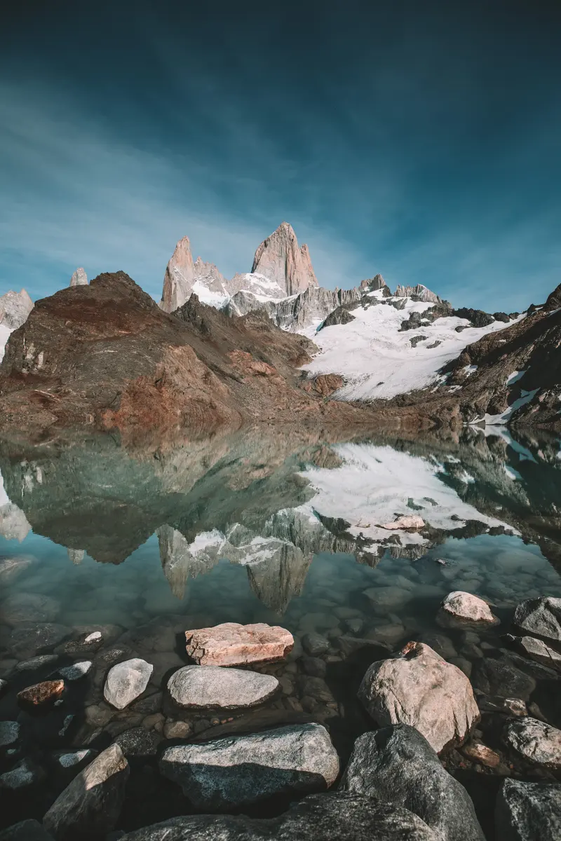 Laguna de los Tres19.6 km · +890 m · 8 to 10 h · from USD 228
 Laguna de los Tres Sunrise Trek19.6 km · +890 m · 8 to 10 h · from USD 295
Chaltén
The Aonikenk (the southern Tehuelche) called it Chaltén, the mountain that almost always has a cloud stuck to its summit: the smoking mountain. In 1877 Francisco P. Moreno named it Fitz Roy, after Robert FitzRoy, captain of the Beagle. Both names live on.
1952: the French expedition
In early 1952 a French expedition reached the massif. One of its members, Jacques Poincenot, drowned crossing the Fitz Roy river before the summit attempt; the camp and one of the spires bear his name today. On 2 February 1952 Lionel Terray and Guido Magnone reached the summit of Fitz Roy for the first time. The street our office is on is named after Lionel Terray.
Cerro Torre
Cerro Torre has the most disputed story in mountaineering. In 1959 the Italian Cesare Maestri claimed to have reached the summit with Toni Egger, who died on the descent; the ascent was never proven. The first undisputed ascent came in 1974, by an Italian Ragni di Lecco expedition led by Casimiro Ferrari.
The Park and the town
Los Glaciares National Park was created in 1937 and UNESCO declared it a World Heritage Site in 1981. El Chaltén was founded in 1985 at the foot of the massif; that same year Alberto Del Castillo arrived, and in 1995 Fitz Roy Expediciones was born. Read more →
- Laguna de los Tres19.6 km · +890 m · 8 to 10 h · from USD 228
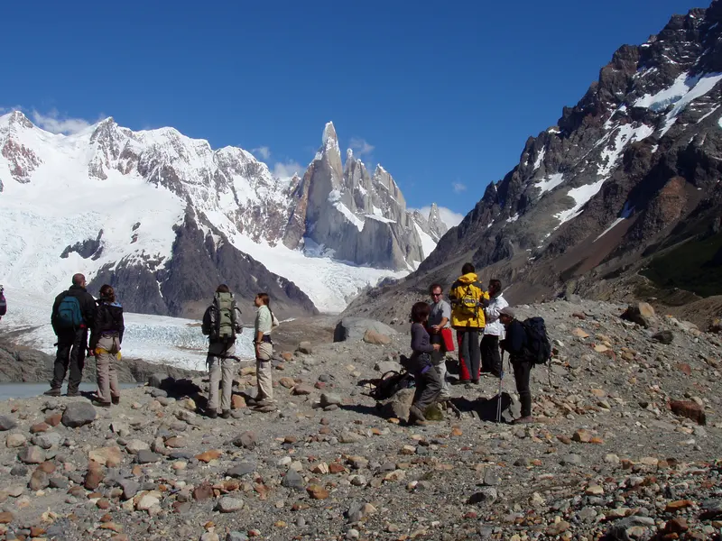 Laguna Torre16.6 km · +500 m · 7 to 8 h · from USD 203
Questions
How high is Mount Fitz Roy?
3,405 m above sea level.
Where is Mount Fitz Roy?
In Los Glaciares National Park, Santa Cruz province, Argentina, on the border with Chile, about 13 km from the town of El Chaltén.
Can you hike up Fitz Roy?
Not to the summit: that is technical climbing. On foot you reach its base, Laguna de los Tres, in a day from El Chaltén.
What does Chaltén mean?
For the Aonikenk, the smoking mountain, for the cloud almost always on its summit.
Who first climbed Fitz Roy?
Lionel Terray and Guido Magnone, on 2 February 1952, with a French expedition.
When was El Chaltén founded?
In 1985.