
…
- On foot
Mirador de las Águilas
At sunset, on foot from town
- distance
- 6.2 km
- elevation gain
- +150 m
- highest point
- 543 m
- duration
- 2 to 3 h
- difficulty
- Easy
Stretch by stretch
The trail cut into stretches, measured on the track. Tap one to see it on the map and the profile.
- On foot
3.1 km · height 396 a 545 m
Approximate route: the OpenStreetMap trail to the viewpoint. Touch the profile to see the height at each point.
The numbers
Measured on the OpenStreetMap route (approximate), with heights from the Copernicus GLO-30 model.
- Walking
- 6.2km
- Total ascent
- +150m
- Total descent
- −150m
- Lowest point
- 396 m
- Highest point
- 543 m
- Steepest stretch
- 9 %average grade over 1 km
- Steeper than 15 %
- 0.2 km
- Walking time
- 2 to 3 h
- Difficulty
- Easy
The trek
Everyone in Chaltén looks the same way: at Fitz Roy. This viewpoint is close to town and looks exactly the other way.
We leave from the Park Visitor Centre, at the entrance to town, on the viewpoints trail. First Los Cóndores, with the town below and Fitz Roy and Cerro Torre behind.

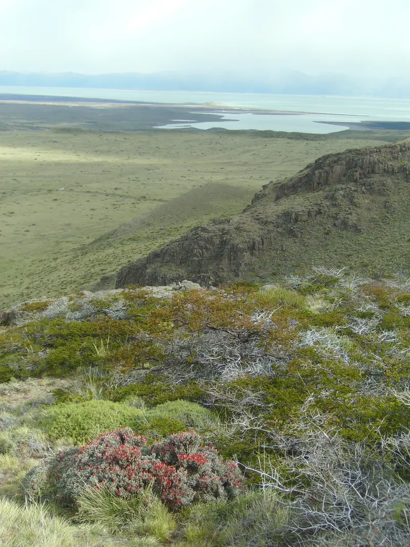
Then the trail opens towards the steppe up to the Las Águilas viewpoint: Lago Viedma on fire at sunset, the steppe that never ends and, if you are lucky, a condor gliding past at eye level.
We walk down with the last light. About 2 to 3 hours, with little climbing: perfect on the day you arrive or to end a rainy day.
How the day goes
- Start at the Visitor Centre
- Los Cóndores viewpoint
- Las Águilas viewpoint at sunset
- Back down to town
Wind on the way
It is the first thing we check in the morning. Town can be calm while the lake is blowing hard, so we show both heights.
Loading the forecast…
Mirador de las Águilas: questions
How far do you walk?
About 6.2 km there and back from the Visitor Centre, with 150 m of climbing. 2 to 3 hours, unhurried.
Who is it for?
For the day you arrive, for families, for anyone who does not want to walk 20 km, or to end a rainy day. A good path, little climbing.
What time do we leave?
About two and a half hours before sunset: in midsummer, around 7:30 pm. We confirm the time the day before.
Is it windy?
Yes, quite: the viewpoint is open to the steppe. Bring a windproof and a warm layer even on a nice day.
What wildlife can you see?
With luck, condors, black-chested buzzard-eagles and guanacos.
Do you pay the Park fee?
Yes: it is inside Los Glaciares National Park. Since 1/6/2026 a day costs ARS 50,000 for foreign visitors and ARS 25,000 for Argentines, by QR or card (no cash). It is not included in the trek.
The best hikes in El Chaltén · 2 to 5-day itineraries · When to visit El Chaltén · The National Park and its fee · How to get to El Chaltén · Short hikes
Live
The mountain logbook
What people who walked with us write. Every Google or Tripadvisor review links to the original.
5,0
· Google · Tripadvisor
The logbook opens this season: the first entry could be yours.
Photos
What happens when you book
The full policy →- 01Written confirmationYour place is confirmed once we receive payment and send you the confirmation.
- 02Meeting point and timeThey come with the confirmation. Depending on the trek, we meet in town or pick you up.
- 03What to bringWe send you the list: hiking boots with good grip, warm layers, a waterproof jacket, water and food.
- 04If the weather says noThe guide decides. If we cannot go, we move you to the next date or give you credit for another trek.
- 05If you need to cancel30 days or more before: full refund; 15 to 29 days: 50%; under 15 days: no refund.
Other treks