El Chaltén
The trails begin at the edge of town. Forested valleys lead west, where the granite skyline rises between the steppe and the ice.
Move through granite, forest and ice. Then choose how you want to walk into the map.
The trails begin at the edge of town. Forested valleys lead west, where the granite skyline rises between the steppe and the ice.
At 3,405 metres, Cerro Chaltén dominates the northern park. Laguna de los Tres offers its most direct trekking perspective from below.
West of the main valley, Cerro Torre rises above its glacier and lagoon — a sharp landmark exposed to weather arriving from the ice.
The Southern Patagonian Ice Field forms the immense western horizon of this landscape and shapes its glaciers, rivers and weather.
A virtual high-altitude perspective reveals how the valleys, peaks and ice connect. It is a spatial interpretation — not a climbing route, safety reference or navigation tool.
Fitz Roy is not a single view. It is a mountain system shaped by wind, glaciers, forests and long valleys. From El Chaltén, every trail reveals a different face of the same terrain.
This northern sector of Los Glaciares National Park belongs to a UNESCO World Heritage landscape of rugged mountains, glacial lakes and active ice. The map above is an invitation to read that geography before walking into it.
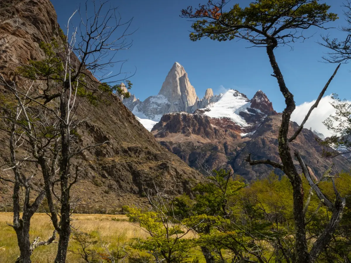
Distance is deceptive here. The valleys are broad, the weather is fast and the granite remains visible far beyond the trailhead.
The right trek is not only a matter of distance. Exposure, terrain, season and your experience determine how the day feels. FRE helps you choose the route that makes sense for you.
The classic approach to the massif: lenga forest, open valleys and a final ascent to the glacial lagoon beneath Fitz Roy.
02A long, gradual valley that reveals the Torre range, its glaciers and the weather moving in from the Southern Patagonian Ice Field.
03A quieter high-level perspective over the Fitz Roy and Torre massifs for experienced hikers looking beyond the classic trails.
04A complete journey through forest, exposed passes and the edge of the Southern Patagonian Ice Field — one of El Chaltén’s great treks.
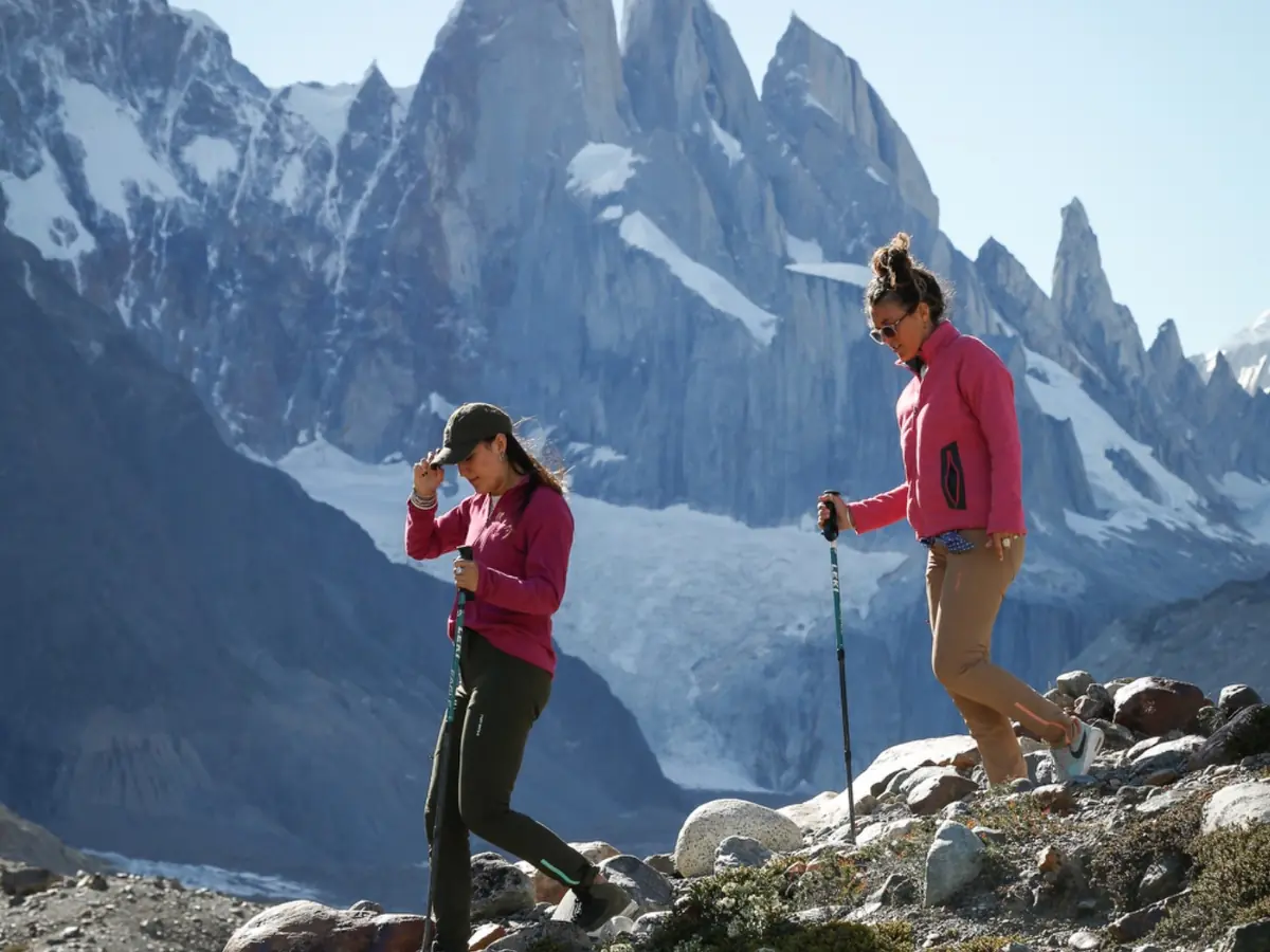
A contour line cannot show the force of the wind, the condition of a river crossing or how quickly cloud can close around a pass. Our guides interpret the living landscape and adapt each day to the group and the conditions.
We have been guiding small groups from El Chaltén since 1995 — with local knowledge, honest advice and respect for the mountain.
Plan your trek with FRE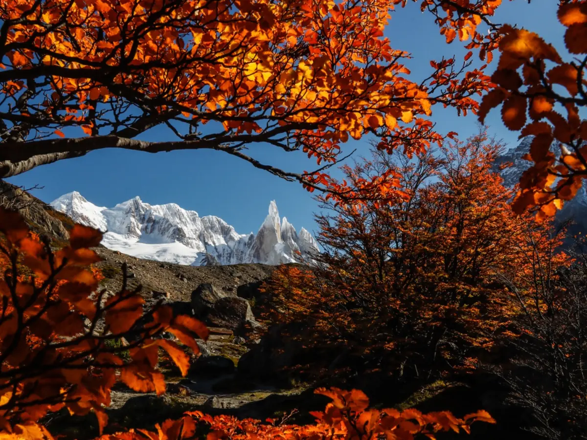
Come and meet the version that is waiting for you.
Start planning